Map PNG: 17 free images
An outline of Japan with one prefecture shaded, a watercolour world map with a compass rose, a flag-filled United States, a data map with sized circles and a yellow country map with a marked route.
- Images
- 17
- Sizes
- 600 to 3 922 px
- Formats
- PNG with alpha, WebP, JPG
- Download
- free, no sign-up
Filters
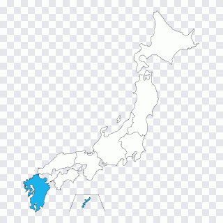 Google Maps Globe Japanese maps Prefectures PNG
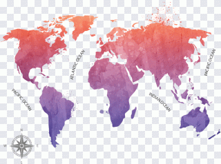 Globe World map, ink map, ink PNG
 The Ghost Map: The Story of London's Most PNG
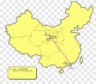 Taklamakan Desert Ecoregion Gold Biome PNG
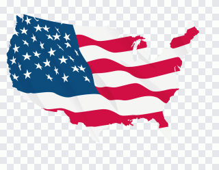 Map of the United States, flag PNG
 Map, leaf, computer PNG
 North Computer Icons Cardinal direction PNG
 Compass rose North, compass, triangle PNG
 Possessive Pronoun, Twin Baby, text, hand PNG
 Miluo City Dragon Boat Festival Watercraft PNG
 Texture mapping Ink, Dragonfly ink and PNG
 Vagas Aqua Private Limited Ink Color PNG
 Wolf with a sweater, wolf, one, animal PNG
 Circle Icon, A swimming laps, swimming Pool PNG
 Caramel corn Popcorn Kettle corn Muesli 6 PNG
 Compass rose Wind rose Computer Icons PNG
 Wind rose Computer Icons North, european PNG
Maps that carry data
The circles scaled by count with a legend below and the route map with its legend box are working maps, ready for a report or a logistics page. The Japan outline with a single filled prefecture shows one region against the rest — useful for a regional study or a distribution chart.
Maps as decoration
The watercolour world map, shading from coral to violet, and the United States filled with stars and stripes are about mood rather than accuracy: a travel blog header, a planner cover, an election explainer.
Picked up by tags
The grammar worksheet, dragon boats, water splash, wolf in a jumper, swim ring and popcorn bowl have nothing to do with maps. They arrived through loose source tags and are better found under their own topics.
Questions and answers
Is the transparency real or a painted checkerboard?
All 17 images carry a real alpha channel. On the image page you can switch the backdrop to white or dark to see the edges.
Are there large files for print?
The largest files in this set reach 3 922 px. For print choose 2000 px and up in PNG; for the web 500–800 px in WebP.
How many files can I download?
Downloads are free and open. With very frequent requests the site asks to confirm you are not a robot — a normal visitor never sees it.
What is the licence?
Terms depend on the specific image. We neither sell files nor issue licences; for commercial work check the source named on the image page.