World map
Free PNG images in the category “World map”: 3 files with transparent background, no sign-up.
A watercolour world map with continents shading from coral to violet and a small compass rose, a map of the United States with coloured circles sized by incident counts — and two ink dragon boats and a green wash that came in on stray tags.
Filters
 Miluo City Dragon Boat Festival Watercraft PNG
 Texture mapping Ink, Dragonfly ink and PNG
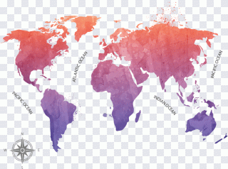 Globe World map, ink map, ink PNG
World map among its neighbours
Flags & Countries also has map, globe, continent and compass. World map is for the whole planet laid flat: political and physical maps, decorative wall maps, outlines of every continent at once. A single country or region belongs under map; the round version under globe.
Projection matters
Most flat world maps stretch the far north and south: Greenland looks as big as Africa, though it is many times smaller. For a decorative print nobody minds. For data — population, emissions, sales by country — pick an equal-area projection, or the big northern countries will dominate the picture.
Borders are political
A map is also a statement. Check how disputed territories are drawn and how old the borders are before you put a map into a school book or a company report. A watercolour map without borders, like the coral one here, sidesteps the question entirely.