Map
Free PNG images in the category “Map”: 17 files with transparent background, no sign-up.
A watercolour world map shading from coral to violet, an outline of Japan with one prefecture in blue, a United States map filled with the flag, another with incident circles and a legend, a yellow country map with a marked route — and, stray from the tags, a wolf in a winter jumper and a bowl of popcorn.
Filters
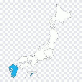 Google Maps Globe Japanese maps Prefectures PNG
 Possessive Pronoun, Twin Baby, text, hand PNG
 Miluo City Dragon Boat Festival Watercraft PNG
 Texture mapping Ink, Dragonfly ink and PNG
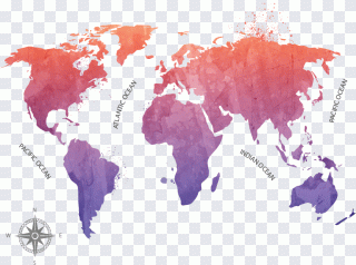 Globe World map, ink map, ink PNG
 Vagas Aqua Private Limited Ink Color PNG
 The Ghost Map: The Story of London's Most PNG
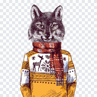 Wolf with a sweater, wolf, one, animal PNG
 Circle Icon, A swimming laps, swimming Pool PNG
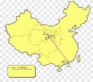 Taklamakan Desert Ecoregion Gold Biome PNG
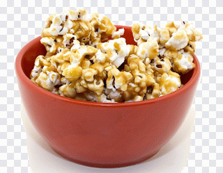 Caramel corn Popcorn Kettle corn Muesli 6 PNG
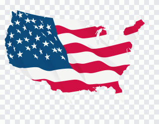 Map of the United States, flag PNG
 Compass rose Wind rose Computer Icons PNG
 Map, leaf, computer PNG
 North Computer Icons Cardinal direction PNG
 Compass rose North, compass, triangle PNG
 Wind rose Computer Icons North, european PNG
Map, world map or globe
In Flags & Countries, map covers any territory drawn flat: a country, a region, a city plan, a route. world Map is for the whole planet on one sheet, globe for the sphere, continent and europe for their own outlines. A national outline filled with its flag also lives here, halfway to national Flag.
Data maps and decorative maps
Two kinds sit side by side. Data maps carry legends, circles and highlighted regions and belong in a report, a news piece or a lesson; don't reuse them without the source of the numbers. Decorative maps, like the watercolour world, carry mood and suit a travel blog or a wall print.
Borders change
Political maps date quickly. Before placing one in something official, compare its borders and names with a current atlas; a historical map is fine for a history lesson and wrong in a logistics brochure.